At the southern borders of Val d'Orcia and in the face of Mount Amiata rises the town of Radicofani which can be distinguished from far away by the presence of one of the most majestic and spectacular Tuscan fortresses.
For centuries the fortress has been a very important observation point because of its strategic position between the Grand Duchy of Tuscany and the Papal State. These border places were the most suitable for the tollbooth where brigands and thugs of all kinds thrived. Even Radicofani had its bandit in the guise of its lord, the famous Ghino di Tacco, the gentleman thief.
And it is not by chance that even Dante Alighieri, in the Divine Comedy, did not have the courage to send him to Hell reserving a place in Purgatory for him and quoting him in the company of the jurist Benincasa da Laterina: «Here was the Aretine who met his death at the fierce hands of Ghino di Tacco».
Ghino's hunting ground was Via Francigena from where pilgrims were traveling towards Rome. It was customary that these, if rich, were stripped of all their belongings less the necessary and, if poor, were let go without a blow. For those who would like to know more, it might be useful to read Boccaccio's Decameron, which contains the enlightening stories of Ghino's beheading of Judge Benincasa and the beneficial treatment he reserved for Abbot Cluny after his Roman revelry.
The route that bears the name of Ghino di Tacco is a ring around the gullies and biancane of Radicofani and can be done easily in one day with any type of bike. Inside the ring there is a dense network of paths created by the municipality and to be traveled strictly by mountain bike.
Itinerario e Tappe
The road, to the delight of the laziest cyclists, descends for 18 kilometers along Mount Calcinaio on one side and Crete dell'Orcia nature reserve on the other. Downstream we meet the Orcia River that flows silently.
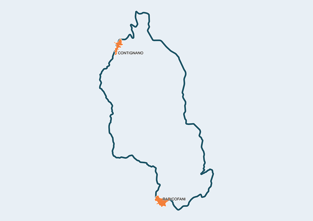
At the crossroads for Contignano begins the climb that leads to the village of probable Etruscan-Roman origins. The beautiful medieval village of Contignano is located along the Francigena road and has been disputed in ancient times by various lordships. Today it has many small farms where they produce excellent cheeses.
The landscape is of a non-terrestrial beauty and ranges between deep gullies and biancane. In the background the «sacred mountain» of Amiata appears in all its majesty. You have to take it easy and stop often to fully enjoy all the features but the problem does not exist because the continuous hard stretches widely justify a choice apparently due to contemplative needs.
After the meeting with the main road we go up again and the view of the Rocca arrives punctually to mark the near destination. Radicofani is found again with its 792 meters height, the romantic garden «Bosco di Isabella», the beautiful Romanesque church of San Piero, the Palazzo Pretorio and the two hostels where modern pilgrims find comfort. The dishes that can be tasted in the village are as genuine as the helpful and courteous population that every year organizes the spectacular Palio del Bigonzo and waits, lurking by the roadside, for Nuvolari's heirs to the passage of 1000 Miles.